What environmental intelligence actually looks like
Most people hear "environmental monitoring" and picture a scientist in waders collecting water samples. That's fieldwork. It's necessary, but it's also the smallest piece of a much larger operational picture.
Environmental intelligence is what happens when you apply the same tradecraft used in corporate investigations and security operations to ecological problems. Satellite imagery analysis, sensor networks, geospatial correlation, field source reporting, and pattern detection across time and terrain. The methodology isn't new. The application is.
The reason this matters now is straightforward. In 2024, tropical regions lost 6.7 million hectares of primary rainforest, nearly double the previous year's figure (WRI, Global Forest Review, 2025). Much of that loss was driven by fires set to clear land for agriculture. A significant portion involved illegal logging and mining in areas where enforcement is slow, underfunded, or non-existent. The data exists to detect these operations. The gap is in who collects it, who interprets it, and how fast the information reaches someone who can act on it.
That gap is exactly where environmental intelligence operates.
The difference between monitoring and intelligence

Environmental monitoring tells you that something changed. A sensor registered a temperature spike. A satellite captured new clearing in a previously intact canopy. A drone recorded turbidity levels in a river that feeds a protected watershed.
That data is valuable. It's also incomplete.
Environmental intelligence adds the analytical layer that monitoring alone can't provide. It asks what's causing the change, who benefits from it, whether the activity is legal, and what happens next if nobody intervenes. The same satellite image that shows a new road being cut into a forest concession in Southeast Asia can be correlated with shipping records, corporate filings, and local enforcement reports to build an intelligence picture of who's behind the clearing and where the timber is going.
Monitoring is observation. Intelligence is assessment. One feeds the other, but they're not the same discipline.
What satellite imagery analysis actually contributes
There's a reason satellite imagery has become the backbone of environmental intelligence work. It scales. You can't put field teams across every threatened ecosystem on the planet. You can, however, task commercial satellites to collect multi-spectral data over those areas on a regular cadence and run automated change detection against historical baselines.
The Brazilian Federal Police demonstrated this at scale. Working with geospatial contractor SCCON, they built a platform that ingests commercial satellite data and generates change-detection alerts across the Amazon basin (Planet, 2024). When the system detects new clearing, road construction, or structural changes in previously untouched areas, it flags the location for investigation. The alert goes out within days, not months.
In the Peruvian Amazon, researchers from the Monitoring of the Andean Amazon Project (MAAP) used sub-meter resolution imagery from Planet and Maxar to identify selective logging inside a forestry concession that had been classified as inactive for years (MAAP, 2020). The logging was confirmed as illegal. Without that level of imagery resolution, the activity would have been invisible from space.
Satellite imagery analysis at this level does more than confirm deforestation after the fact. It detects the precursors. New roads being carved into uncut forest. Small structures appearing where no settlements existed before. Soil disturbance patterns consistent with mining operations. The infrastructure of illegal activity shows up in imagery before the damage becomes irreversible, if someone is watching.
How ecosystem monitoring supports environmental intelligence
Satellite data covers the spatial dimension. Ecosystem monitoring covers the temporal one.
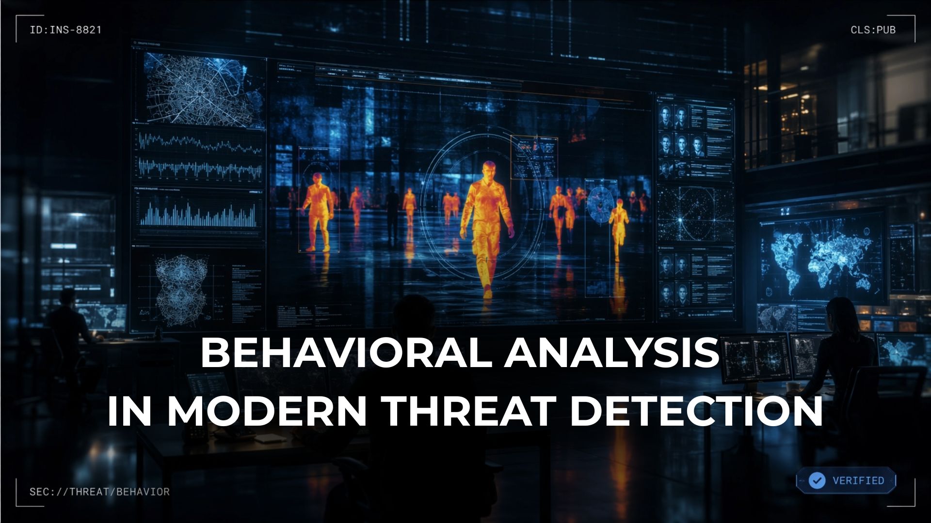
The distinction matters because environmental threats don't arrive all at once. Illegal mining operations start with exploratory excavation. Poaching rings test enforcement response times before scaling operations. Agricultural encroachment begins at the edges of protected areas and pushes inward over months. Detecting these patterns requires persistent observation, not a single snapshot.
This is where sensor networks, acoustic monitoring, camera traps, and field intelligence networks come in. A ground-based sensor that detects chainsaw frequency in a protected reserve is environmental monitoring. Correlating that sensor data with satellite-detected road construction, known trafficking routes, and local informant reporting is environmental intelligence.
Global Forest Watch, the open-source monitoring platform built by the World Resources Institute, publishes weekly deforestation alerts based on Landsat satellite data processed by the University of Maryland's GLAD lab (WRI, 2025). Those alerts reach park rangers, NGOs, and law enforcement agencies who can respond. In Peru, communities using GFW's Forest Watcher mobile app documented illegal coca plantations and logging on their ancestral lands using satellite alerts and ground-level photo evidence (WRI, 2023). The Indonesian Ministry of Environment and Forestry later seized 38 containers of illegally harvested timber based on similar documentation collected by indigenous forest monitors.
The point isn't the technology. It's the integration. Individual data sources produce observations. Fusing those observations into a coordinated picture produces intelligence.
Why environmental data analysis matters more than collection
There's a paradox in environmental monitoring. We have more data than ever and less clarity about what it means.
The Copernicus Sentinel program and Landsat archive provide free, open satellite imagery covering most of the planet. Commercial providers like Planet, Maxar, and ICEYE add higher-resolution optical and synthetic aperture radar (SAR) data that can see through cloud cover and image terrain at night (ICEYE). IoT sensor networks generate continuous streams of air quality, water quality, and soil condition data. Acoustic sensors record species activity in remote habitats. Drone surveys map terrain at centimeter resolution.
The bottleneck isn't collection. It's analysis.
Environmental data analysis is the process of turning that volume into something a decision-maker can act on. That means automated classification of land cover changes, trend analysis against multi-year baselines, correlation of environmental signals with human activity patterns, and translation of raw geospatial data into products that answer specific operational questions.
The University of Maryland's Hansen dataset, which underpins Global Forest Watch, tracks tree cover change at 30-meter resolution globally, using Landsat imagery going back to 2000 (GLAD, UMD). In June 2025, WRI and Google DeepMind released a new dataset that uses AI to map the dominant driver of tree cover loss at one-kilometer resolution from 2001 through 2024 (WRI, 2025). That analysis found that 34 percent of global tree cover loss during that period was likely permanent, driven primarily by agricultural expansion.
That's the kind of output environmental data analysis produces. Not "trees are disappearing" but "here's where, here's why, and here's what it means for the next five years."
How remote sensing supports environmental change detection

Remote sensing is the collection method. Environmental change detection is the analytical product.
The two get conflated constantly. Remote sensing gathers imagery and sensor data from satellites, aircraft, and drones. Change detection compares that data over time to identify what's different. The distinction matters because the quality of the change detection depends entirely on how well the analyst understands what they're looking at.
SAR satellites are particularly useful for environmental monitoring because they operate independent of weather and lighting conditions. A SAR satellite can image the same patch of forest during monsoon season, at night, through smoke from nearby fires. Optical satellites can't. For regions where cloud cover persists for weeks or months at a time, SAR is often the only viable source of persistent monitoring data.
Change detection at this level requires historical baselines. You need to know what the terrain looked like before the change in order to quantify what changed. Planet's archive includes proprietary datasets going back to 2009 and public datasets back to 1972, which means analysts can establish long-term baselines that account for seasonal variation, natural disturbance cycles, and slow-moving trends like permafrost retreat or coastline erosion.
The operational question environmental intelligence answers isn't whether something changed. It's what the change means, whether it was expected, and whether it requires intervention.
What data sources support environmental intelligence
Environmental intelligence draws on a wider set of inputs than most people expect. The satellite imagery gets the attention, but it's only one layer.
A working environmental intelligence operation typically integrates optical satellite imagery for broad-area monitoring and high-resolution tasking, SAR data for all-weather persistent surveillance, multispectral and hyperspectral data for vegetation health and species identification, LiDAR for terrain modeling and canopy structure analysis, IoT and ground-sensor networks for real-time environmental condition monitoring, acoustic monitoring for species population tracking and illegal activity detection, drone surveys for localized high-resolution mapping, open-source intelligence from shipping records, corporate registries, and permit databases, and human source networks for ground-truth verification and local context.
None of those sources is sufficient on its own. A satellite image of new construction in a protected area means nothing without the regulatory context to confirm whether the construction is authorized. A sensor alert from a remote monitoring station means nothing without a response capability to investigate it.
The intelligence value comes from fusion. The same multi-source integration that makes corporate intelligence effective in fraud investigations applies directly to environmental operations. Different collection methods answer different questions. The analytical layer connects them.
How organizations actually use environmental intelligence

In practice, environmental intelligence supports three categories of operations.
The first is enforcement support. Conservation agencies and law enforcement organizations use environmental intelligence products to target interdiction operations against illegal logging, mining, poaching, and dumping. The intelligence tells them where to look, what they'll find, and how to build an evidentiary case that holds up in court.
The second is regulatory compliance verification. Corporations with supply chain exposure to deforestation risk, particularly in palm oil, soy, beef, rubber, and timber, use environmental intelligence to verify whether their suppliers operate within legal boundaries. The EU Deforestation Regulation (EUDR) has made this operationally urgent for any company importing those commodities into European markets.
The third is conservation planning. NGOs, government agencies, and research institutions use environmental intelligence to prioritize where to allocate limited conservation resources. When you can quantify where habitat loss is accelerating fastest, where species corridors are being fragmented, and where enforcement gaps are widest, you can make better decisions about where to intervene.
What connects all three is the same principle: decisions improve when they're based on fused, analyzed intelligence rather than raw observations from a single source.
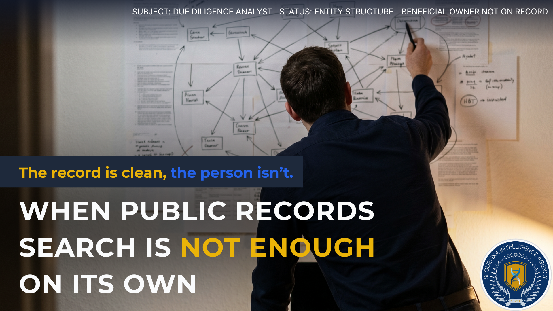
The part most organizations get wrong
Here's the uncomfortable truth about environmental monitoring. Most of the data being collected never reaches anyone in a position to act on it in time.
The technology is there. Commercial satellite constellations provide near-daily revisit rates over most of the planet. AI-driven change detection algorithms can flag anomalies within hours. Sensor networks generate real-time telemetry from remote ecosystems. The collection infrastructure is more capable than it's ever been.
The failure is in the last mile. Getting the right analysis to the right person at the right time, in a format they can act on. That's not a technology problem. That's an intelligence problem. And it's the reason environmental intelligence exists as a discipline distinct from environmental monitoring.
Collecting data doesn't protect anything. Acting on intelligence does.
Frequently asked questions
What is environmental intelligence?
Environmental intelligence is the practice of collecting, analyzing, and fusing multi-source environmental data to produce actionable assessments for decision-makers. It combines satellite imagery analysis, sensor data, field reporting, and open-source research to answer operational questions about environmental change, ecosystem health, and threats to natural resources.
What does environmental intelligence look like in practice?
In practice, environmental intelligence operations involve tasking satellites over target areas, integrating sensor data from ground networks, correlating findings with open-source records, and producing analytical products that identify threats, attribute responsibility, and recommend action. The output is an intelligence picture, not a raw data feed.
How does ecosystem monitoring support environmental intelligence?
Ecosystem monitoring provides the continuous observation baseline that environmental intelligence requires. Satellite imagery, sensor networks, and field collection generate the raw data. Environmental intelligence adds the analytical layer that interprets that data, identifies patterns, and produces assessments that drive operational decisions.
What role does satellite imagery analysis play in environmental monitoring?
Satellite imagery provides the spatial foundation for environmental monitoring at scale. Commercial satellites can detect land use changes, infrastructure development, deforestation, and pollution events across millions of hectares. When combined with historical baselines, satellite imagery supports automated change detection that identifies illegal activity and environmental degradation before it becomes irreversible.
What is sustainability intelligence?
Sustainability intelligence applies the methods of environmental data analysis to organizational decision-making about resource use, supply chain risk, and regulatory compliance. It bridges the gap between raw environmental data and the operational decisions that corporations and institutions need to make about their environmental exposure.
How does environmental data analysis support better decisions?
Environmental data analysis converts raw observations into structured intelligence products. Automated classification, trend analysis, multi-source correlation, and geospatial modeling produce outputs that tell decision-makers not just what changed but why, and what's likely to happen next if current conditions continue.
What data sources are used in environmental intelligence?
Environmental intelligence draws on optical and SAR satellite imagery, multispectral and hyperspectral sensors, LiDAR, ground-based IoT sensor networks, acoustic monitoring systems, drone surveys, open-source intelligence from public records and corporate filings, and human source networks for ground-truth verification.
Ready to Take the Next Step?
Learn how Sequenxa can help protect your organization with intelligence-driven solutions.
Get Started